NMC
Consultation
We conducted a consultation from 20 September to 20 October 2024 on a change to the Development Consent Order (DCO) application we submitted to the Planning Inspectorate earlier this year.
Since submission, we’ve been working with other stakeholders in the carbon capture and storage (‘CCS’) sector (particularly Viking CCS, as the selected storage partner) to further develop our understanding for usage of the Proposed Jetty. Not least, this is to ensure we best achieve the aims of Government in bringing forward Non-Pipeline Transport as part of the CCS sector.
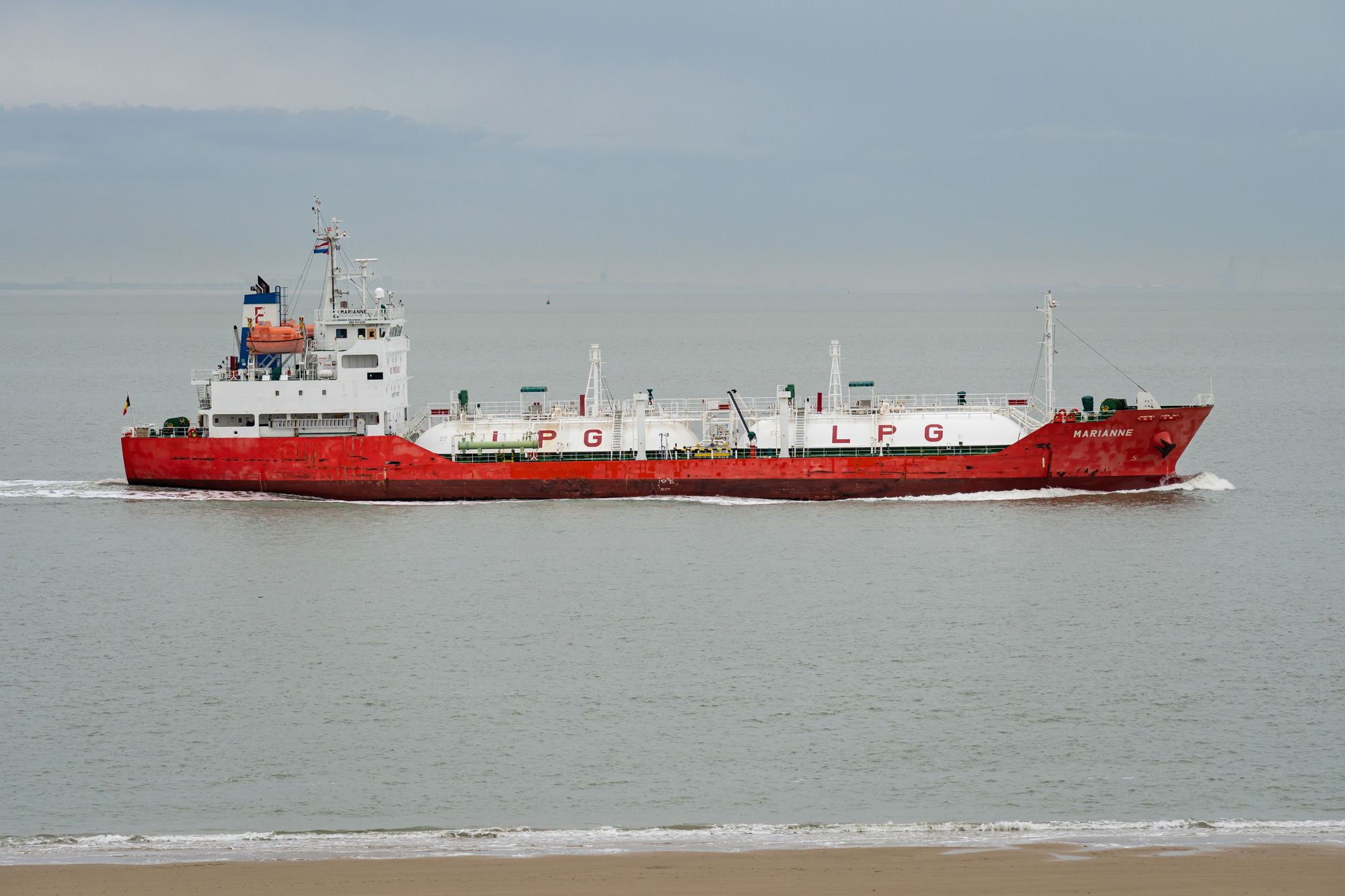
This work has led to us considering that the Proposed Jetty, and associated dredging, should now be designed to facilitate a maximum vessel size of approximately 20,000m3, rather than the maximum 15,000m3 that was previously considered in the application documentation.
You can find a map showing the indicative location of the Change in the Document Library here
Further information on the proposed change
The Proposed Jetty, and associated dredging, should now be designed to facilitate a maximum vessel size of approximately 20,000m3, rather than the maximum 15,000m3 that was previously considered in the application documentation.
Such a change will enable fewer vessel movements which would:
- facilitate more economically efficient operation (aligned with Government objectives) due to less fuel consumption, port fees and capital costs;
- allow for a faster CO2 unloading rate when it reaches its destination terminal, which will be beneficial to the CCS sector as a whole, given consideration of the other potential users that would be using the Immingham Green Energy Terminal when Viking CCS is taken forward; and
- would allow for lower carbon intensity of the transport movements associated with the Proposed Scheme.
Facilitating vessels of approximately 20,000m3 means that the following matters of relevance to the Proposed Scheme have been sought to be dealt with in the Change Application:
- A change to navigational risk, given the size and number of vessel movements will be changed, necessitating an update to the Preliminary Navigational Risk Assessment (‘NRA’) which we will undertake in engagement with key stakeholders such as the PLA and CLdN.
- Whilst the limits of deviation shown on the Works Plans will not change as a result of the proposed Change, there would be:
- an increase in assumed capital dredging volume (by approximately 40,000m3) to account for small changes in jetty design, which, although not a secured number, will need to be considered from an assessment perspective; and
- a likely increase in the size of the sheet pile retaining wall either side of the dredged pocket (by a combined approximately 70m) which, although not a secured parameter, will need to be considered from an assessment perspective.
- The downwards limits of deviation for dredging, as set out in article 2 of the draft DCO will need to be increased from minus 10.50 chart datum to minus 11.00 chart datum.
This is the only design change to the Proposed Scheme required (which would be achieved through amending article 2 of the draft DCO (APP-O18)) and no changes are required to any of the certified plans. In particular, the Applicant confirms that the change to provision for vessels of approximately 20,000m3 would not require any changes in the size of the LCO2 Buffer Storage Area, because the area is already of sufficient size to facilitate loading of vessels of that capacity.
Environmental effects
We have given early consideration of the Change in the context of the environmental impact assessment (‘EIA’) carried out in respect of the Proposed Scheme, the findings of which are reported in the Environmental Statement (ES) available on the Planning Inspectorate’s website.
For all the technical topics of the ES the proposed Change is within the Site Boundary and Study Area assessed. You can find a map showing the indicative location of the Change in the document library of this website.
For the below technical topics, based on the early review undertaken, the Change is not considered likely to result in changes to the significance of effects as reported in the ES, its associated appendices, and the mitigation measures presented remain appropriate:
- Chapter 5: Air Quality [APP-054]
- Chapter 6: Noise and Vibration [APP-055]
- Chapter 7: Terrestrial Biodiversity [APP-056]
- Chapter 8: Marine Biodiversity [APP-057]
- Chapter 9: Historic Environment [APP-058]
- Chapter 10: Townscape and Visual [APP-059]
- Chapter 12: Climate Resilience [APP-061]
- Chapter 13: Greenhouse Gases [APP-062]
- Chapter 14: Population, Health and Land Use [APP-063]
- Chapter 15: Socio-economics [APP-064]
- Chapter 16: Materials and Waste [APP-065]
- Chapter 17: Ground Conditions and Soils [APP-066]
- Chapter 18: Landside Transport [APP-067]
- Chapter 20: Major Accidents and Disasters [APP-069]
- Chapter 21: Cumulative Effects [APP-070]
With respect to Chapter 11: Water Environment and Flood Risk (APP-060) and in particular Appendix 11-4: Coastal Modelling Studies (APP-109), a sensitivity test of the model mesh and location of the Proposed Jetty within the coastal processes model has been undertaken.
The results from the sensitivity test show that the differences in water surface elevation, current speed, and bed shear stress resulting from the change are not significant and does not change the significance of effects or mitigation measures proposed in the assessment.
We believe there would be no change to the conclusions of the Information to Inform Appropriate Assessment (APP-090).
We have updated the Preliminary NRA (APP-115) given the change to navigational risk resulting from the size and number of vessel movements and completed a review of Chapter 19: Marine Navigation (APP-068). Based on the information known to date the Change is unlikely to result in changes to the significance of effects as we will utilise appropriate measures to ensure that the updated Preliminary NRA reaches the same conclusion; that risks can be kept As Low As Reasonably Practicable (ALARP).
In summary, the Change is not expected to result in any new or different likely significant environmental effects than those reported in the ES.
We have presented the detailed findings of the environmental review and appraisal as part of the Change Application that we have submitted to the Planning Inspectorate. This application is available to view on the Planning Inspectorate's website, including consideration of any changes in the calculations that have underpinned the GHG assessment in Chapter 13: Greenhouse Gases (APP-062).
You can find a map showing the indicative location of the Change and a copy of the notice we sent to key stakeholders in the document library section of this website.
You can also find further information on the change in the notification of intent to submit a change request letter published on the Planning Inspectorate website at https://national-infrastructure-consenting.planninginspectorate.gov.uk/projects/EN010128 and then by clicking on the Document tab followed by the link to the Examination Library and searching for Change Request (Document Reference AS-001).